OSM Ghana Improves Access to Ghanaian Villages With Mapping Party
Dec 24, 2022 | By James Amattey
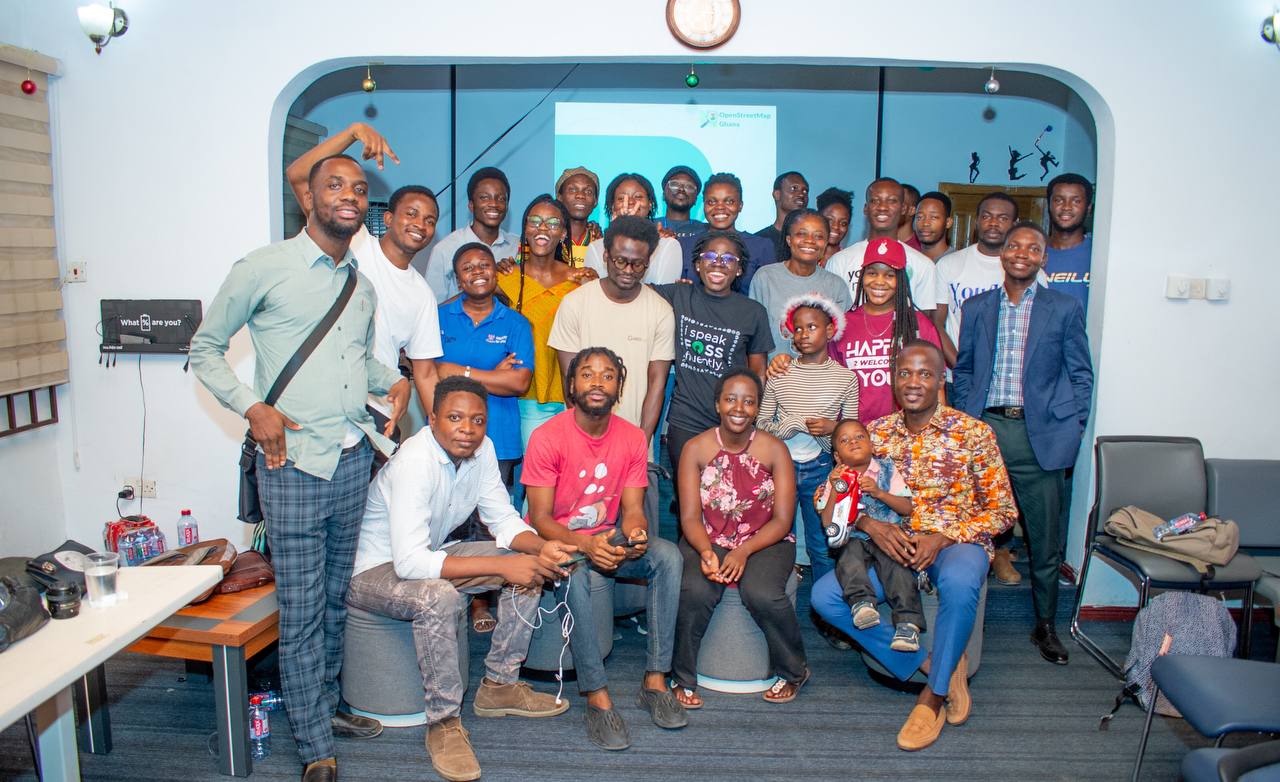
OSM Ghana organized a mapping party to put villages on the map and round off the year 2022 in style.
OpenStreetMap (OSM) Ghana on Thursday, 23rd December, 2022, organized a mapping event in Accra. This event also served as a mini party for volunteers who have been contributing towards the growth and accuracy of the data added on OpenStreetMap, which is an open collaborative project to create a free, editable map of the world.
Being an active and leading contributor to the OSM community, Ghana’s footprint and presence is well represented in a number of projects which require remote and field mapping of roads, buildings and other points of interest. Some of these projects have been beneficial to Ghanaians, as they have helped to address key issues or challenges relating to food security, health care and education. Additionally, the output of these projects have also served as valuable geospatial data for developmental planning among governmental agencies, Non-Governmental Organizations and international development partners.
Why map villages?
Every Ghanaian can identify with a village as villages serve cultural, historical, social and economic functionalities. These functionalities heightens the need of mapping as the output of such mapping activities increases the visibility of all places while ensuring that essential services, like healthcare and education, are able to reach everyone who lives in the village. In simple terms, mapping makes it easier for people to find their way around, and can help emergency services to locate people who need help.
During this event, OSM platforms like JOSM and iD Editor were used to map some of villages in Ghana. This event was also graced by key personalities in the OSM communities.
Benedicta Ohene delivered a talk on The Overview And History of OSM Ghana whilst Confidence Kpodo spoke briefly about YouthMappers.
Later Enock Seth Nyamador, the grandpa for OSM Ghana, spoke extensively on some best mapping practices such as feature tagging and how to give good changesets comments. He also took mappers through some open source mobile tools (OSM tracker, OsmAnd) and encouraged volunteers to complement these tools with desktop platforms like JOSM.
Enock also facilitated an open forum session where the participants were able to ask questions about contributing to and reusing OpenStreetMap data. He also encouraged us to make use of open and public platforms for communication such as forums and mailing lists to seek help related to open mapping, open data and interact with the global OpenStreetMap Community.
The event witnessed a huge participation from several YouthMapper chapters. Speaking on the involvement of YouthMappers in the general OSM agenda, Confidence Kpodo, a leader in the OSM Community and a YouthMappers ambassador said “YouthMappers are part of the general OpenStreetMap community and their collective involvement and support is refreshing. This will foster long-term partnerships with collaborative projects to build capacity for the next generation of mappers in Ghana”
The day climaxed with a celebration with lots to eat and make merry and not to forget to say thank you to our partner Mobile web Ghana for giving us the space to meet and enjoy with our community members.
OpenStreetMap Ghana extends its gratitude to all speakers and patrons of the event and their contribution to making it successful.
2023 promises to be an exciting year with a lot of plans in the pipeline. To stay updated, please follow @OSMGhana on Twitter and subscribe to our mailing lists.