Participating in Open Cities Accra and being part of the FOSS community
Jul 28, 2020 | By Pascalina Awelana Abadum
In early September 2019, I, Pascalina Awelana Abadum a.k.a AwezGeo participated in the Open Cities Accra mapping project both as a field data collector and a data cleaner. The experience from the project has been so overwhelming as it has offered me more than I anticipated.
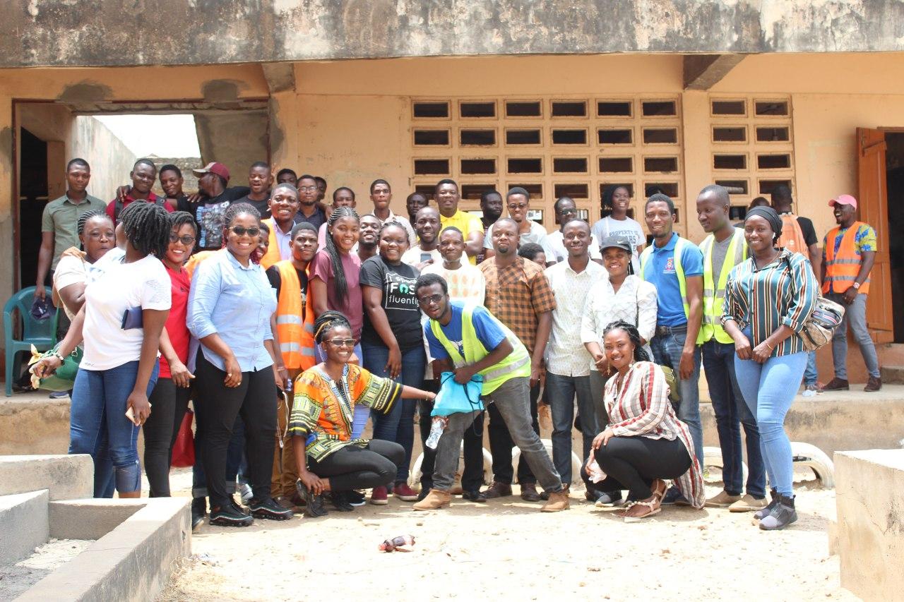
In early September last year, I was privileged to have been invited for the screening and briefing for Open Cities Accra at Mobile Web Ghana where we had a diversified team of engineers, photographers, planners amongst other amazing expertise with a good representation of both sexes.
Considering the fact that some of us were completely new to OpenStreetMap, data collection and what exactly the project entailed, the first day of our training was generally focused on knowing ourselves, the aims, objectives and necessary softwares needed to help make Open Cities a success and continual contributions to OSM.
Remote mapping which happens to be an essential part of this project was already done before our training(Nima and Akweteyman). In order not to be left out, we were taken through the processes of digitization using Java OpenStreetMap editor, mapping using MAPS.ME, OSMTracker, OSMAnd, OpenMapKit and OpenDataKit as mobile applications and how these tools were supposed to be deployed on the field for the data collection process.
As a way of familiarizing ourselves with the data collection tools and processes and ensuring an effective and efficient data collection process, we were dispatched in teams to collect sample data around our immediate environment using OpenMapKit and OpenDataKit (buildings, places of interest, building material/levels etc). The errors, comments and all that came up were addressed before the final field deployment.
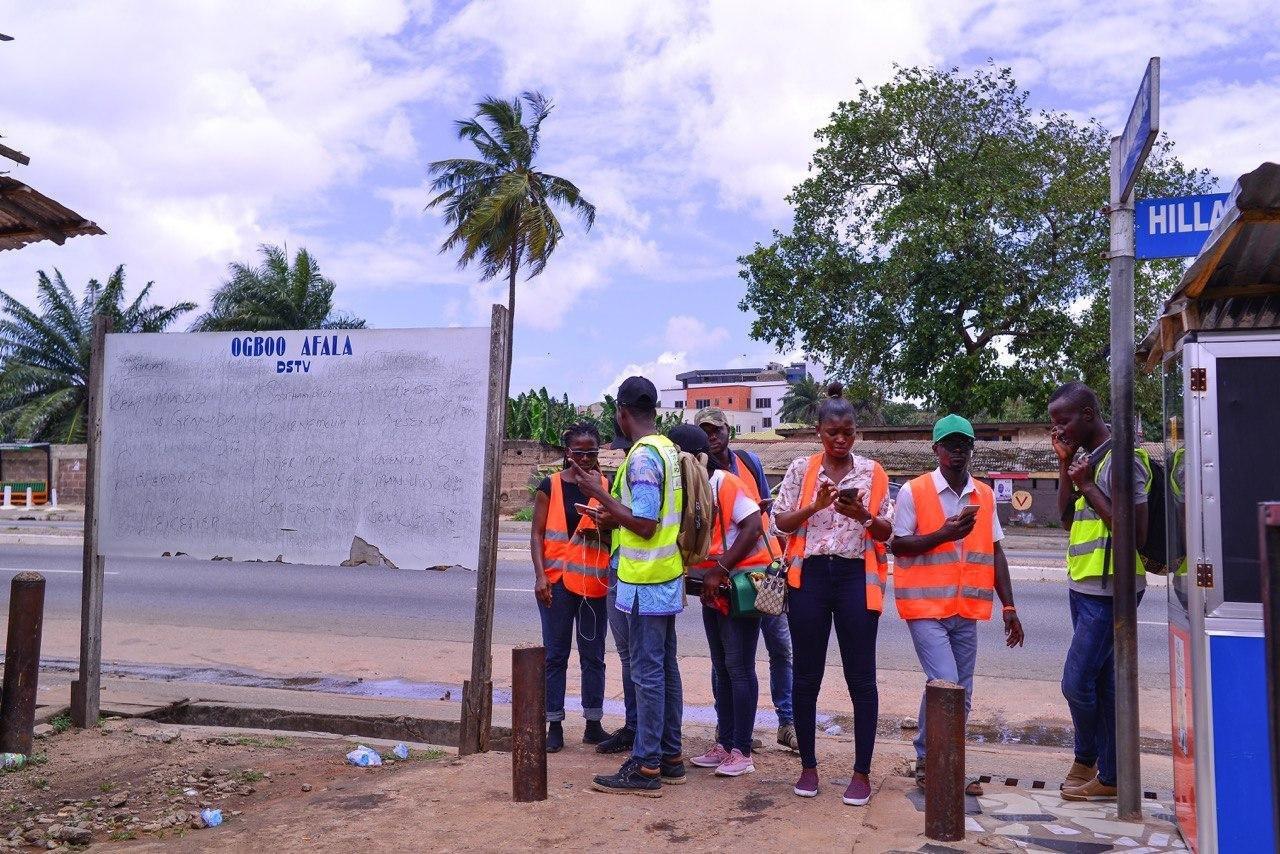 On the field trying to get directions to our alloted tile
The last day of the training was a briefing on field strategies, sharing of experiences by previous mappers, caution on what to expect and how to handle issues on the field and finally dividing us into groups for the actual data collection exercise. Amongst the experiences shared, we were cautioned to be wary of welcoming and unwelcoming community members, we were informed on some of the questions to be expecting and how to go about responding to some of these questions amongst others.
As one who expressed interest in learning on every bit of the project, after joining the data collection team for some time, I was later called upon to join the data cleaning team where we were taken through some quality assurance procedures using JOSM, QGIS and Spreadsheet to to help address some inconsistent tags/errors. Some of these included differences in street names, wrong spelling of keywords amongst others.
 Solving a fixme issue
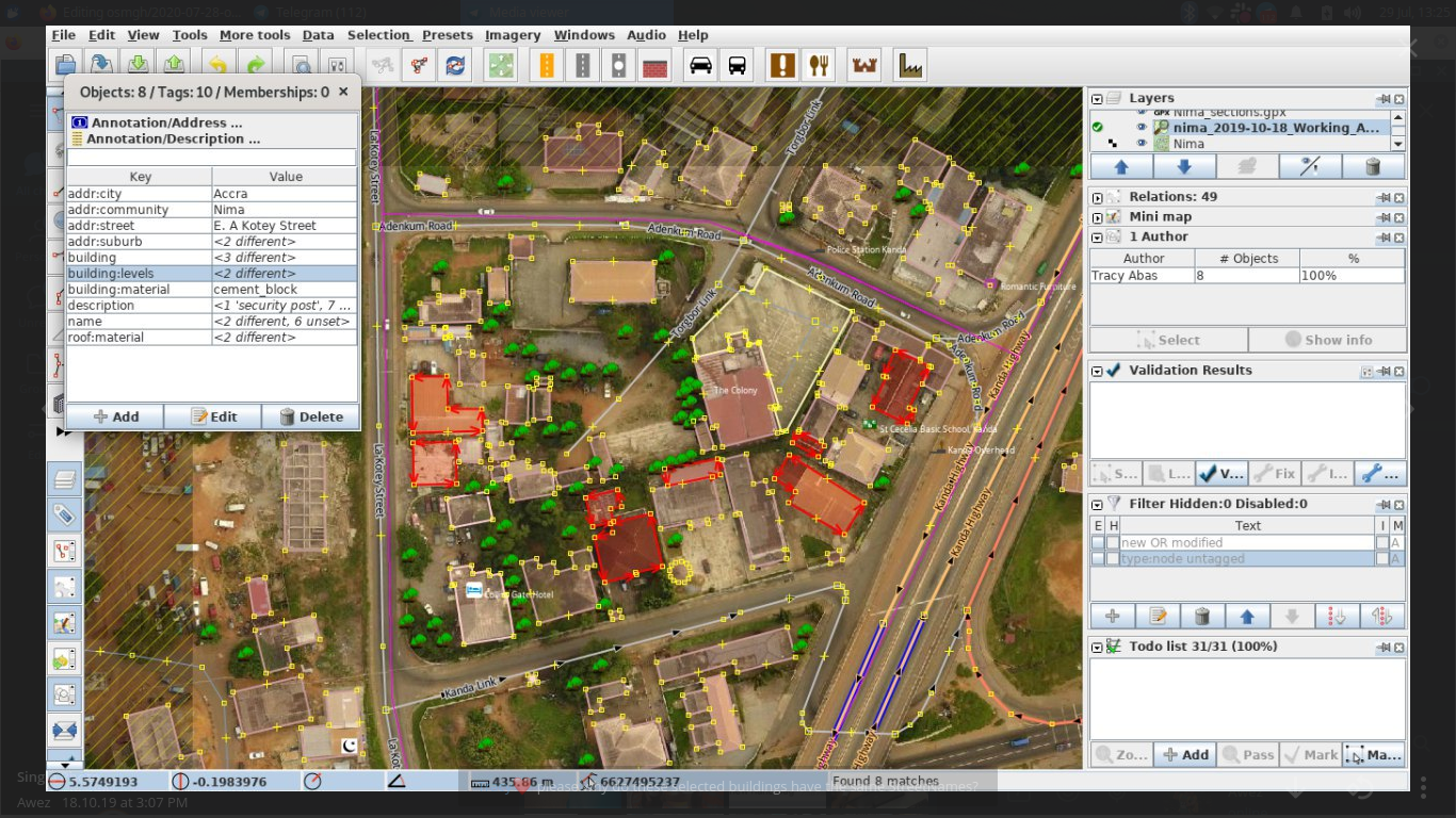 Addressing some inconsistent Street names by a particular mapper
The experience from the Open Cities Project has been so overwhelming as it has offered me more than I anticipated. The knowledge, skills, network and the opportunities that came with it has been mind blowing. I have come to harness the significance of using open source applications in gathering geospatial data to prepare, monitor and better respond to societal issues, natural disasters …,I have used such skills to gain a living for myself and I have shared such knowledge and good news with others.
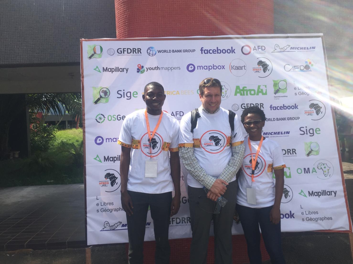 With the founder of OpenStreetMap, Steve Coast at State of the Map Africa 2019 in Grand-Bassam, Côte d’Ivoire
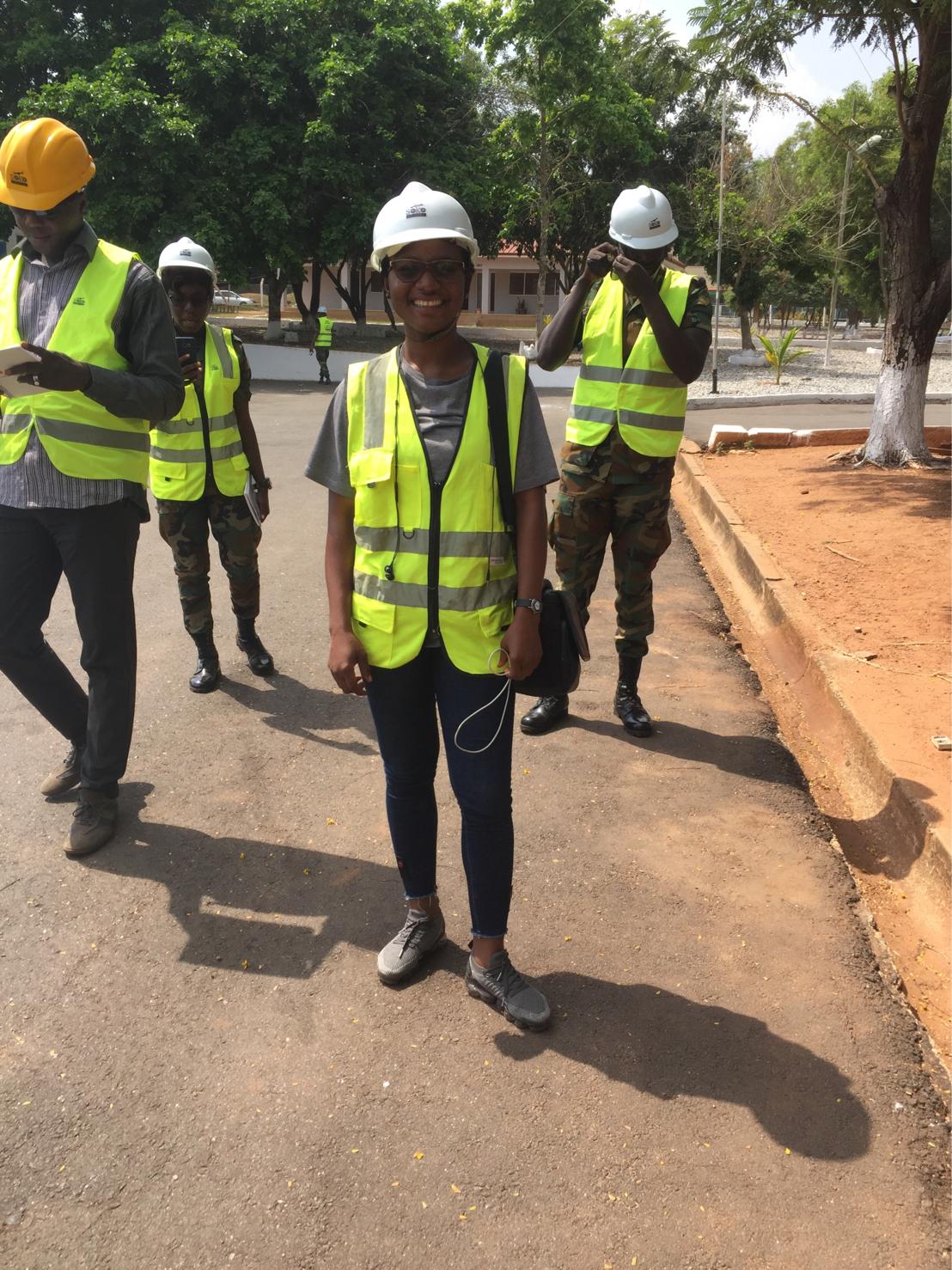 About to fly a drone as a drone pilot at Soko Aerial Robotics
The unforgettable moments of this project lies in the fact that it was a great start for me in identifying, accepting where my passion lied and working on it (digitization, data gathering/quality assurance…). OCA was my breakthrough for great opportunities, identifying what drives me and working hard towards achieving it. I made the most of this opportunity and I look forward to greater opportunities.
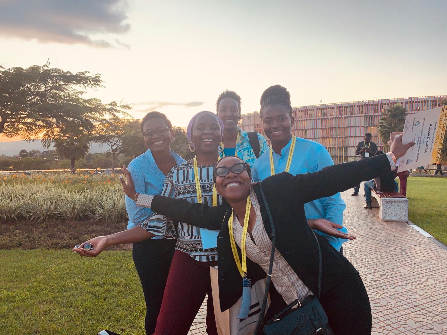 Bonding with Amazing ladies across Africa in Kigali as an AfricanDrone Youth Scholar (Ghana Rep)