Walking, Mapping and History with Mobile Apps: An OpenStreetMap Ghana, University of Ghana YouthMappers and Ghana School of Survey and Mapping YouthMappers Initiative
Jul 21, 2023 | By James Amattey
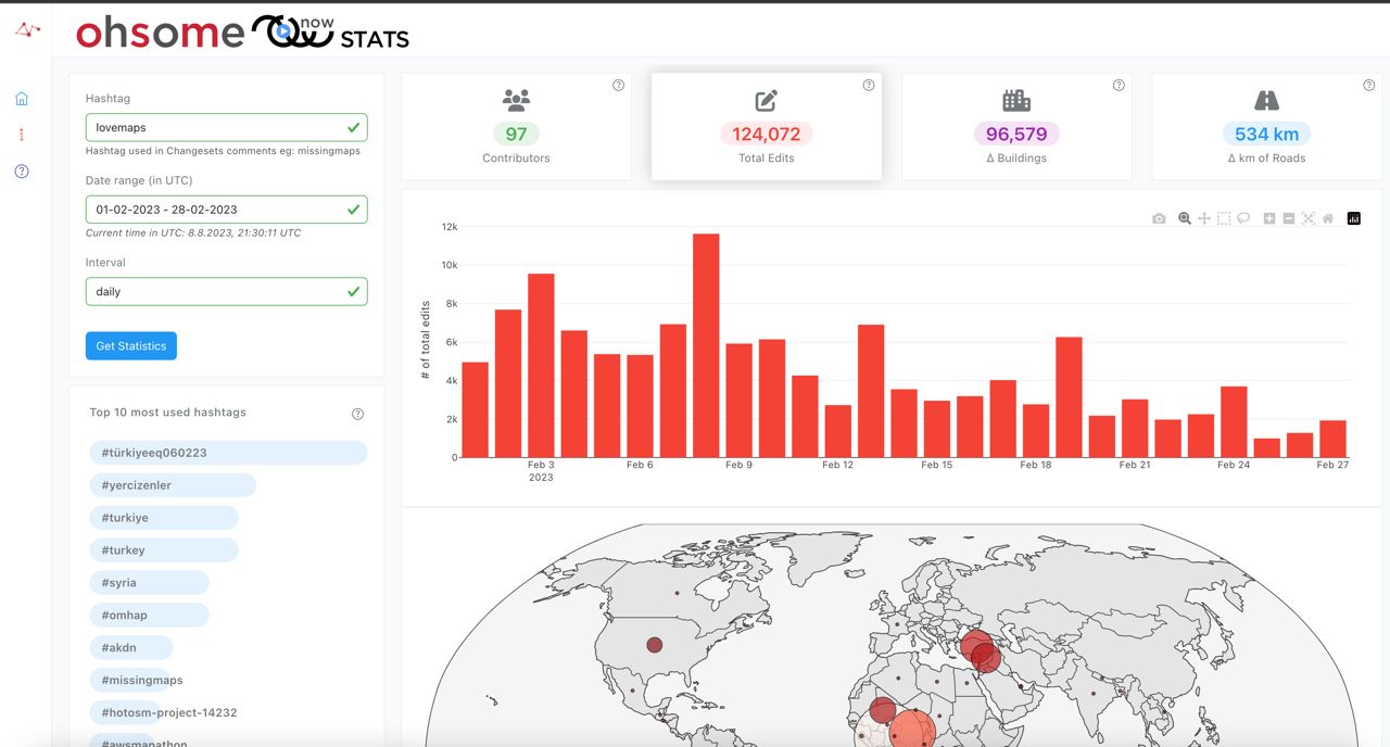
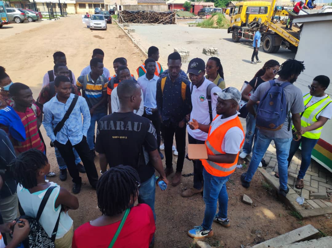
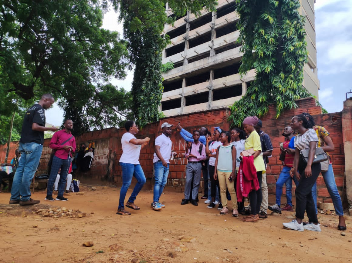
On Friday, July 21st, 2023, OSM Ghana, together with the University of Ghana YouthMappers and the Ghana School of Survey and Mapping YouthMappers embarked on a walking mapathon in an effort to improve local knowledge and the use of mobile mapping tools.
 |
 |
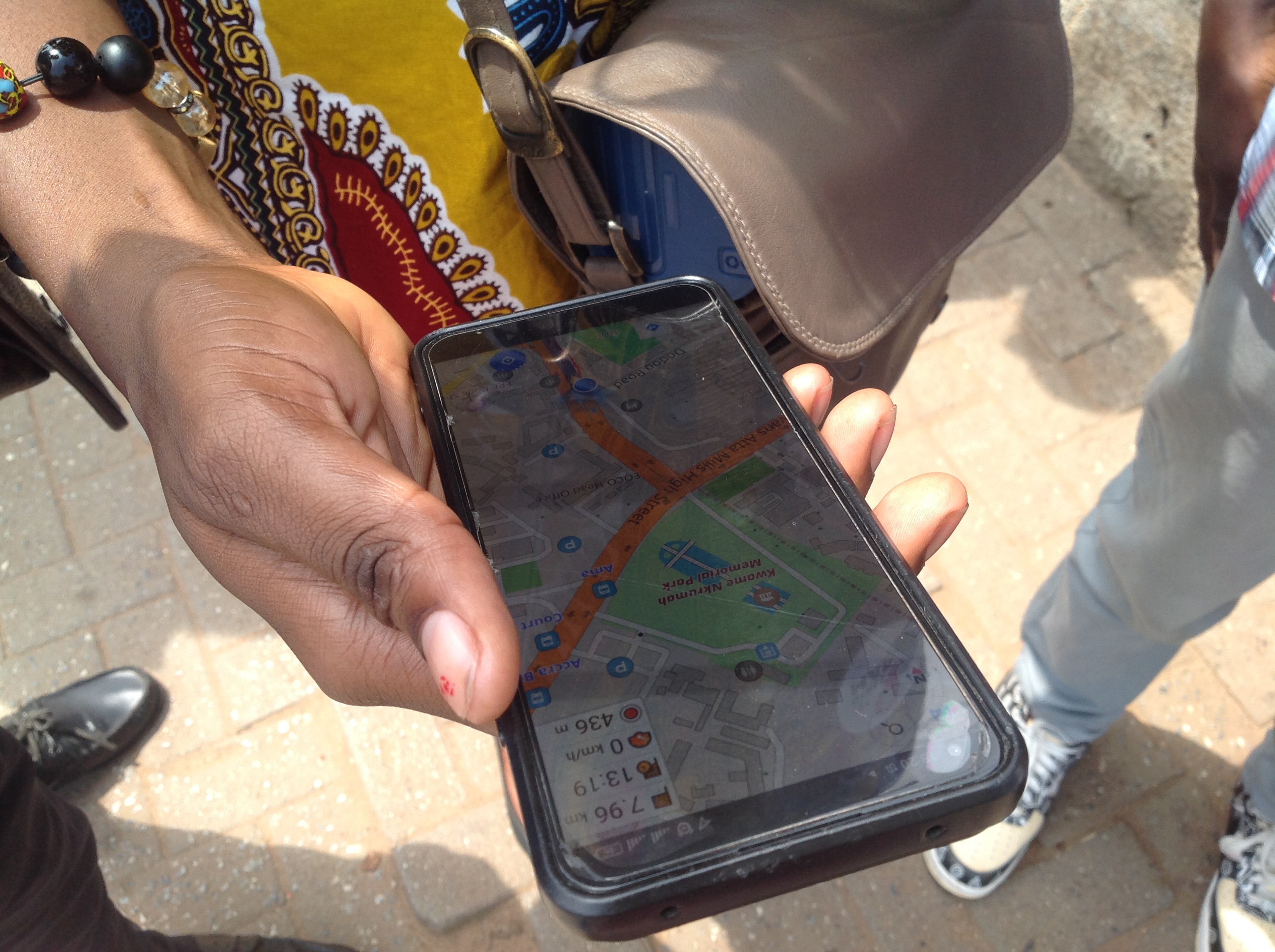
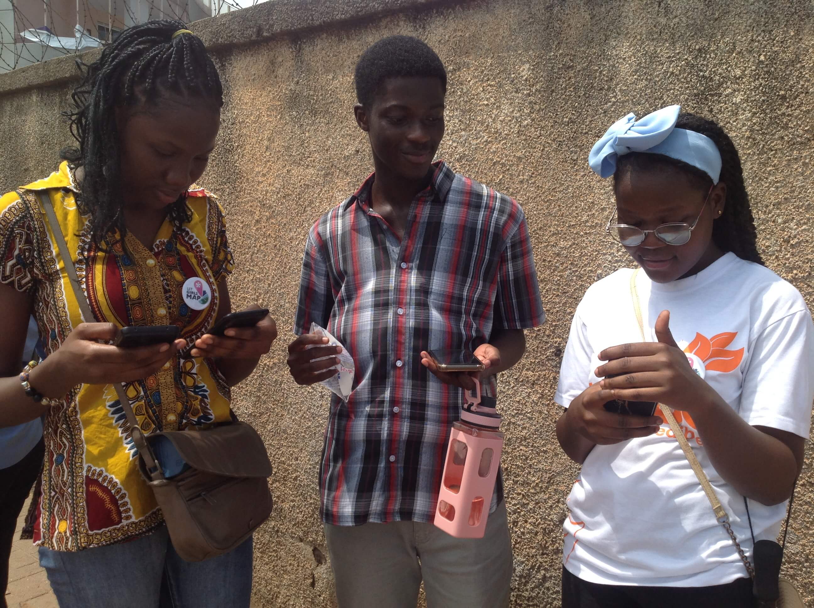
For most, mapping is done on a laptop using ID Editor or JOSM editor. However with a myriad of mobile mapping tools, mapping does not have to be done only with a laptop. Many students already use their mobile phones more for their day to day activities and we will like mapping to be one of them.
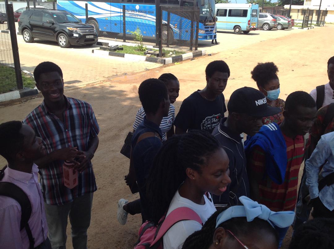
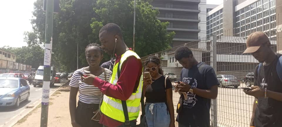
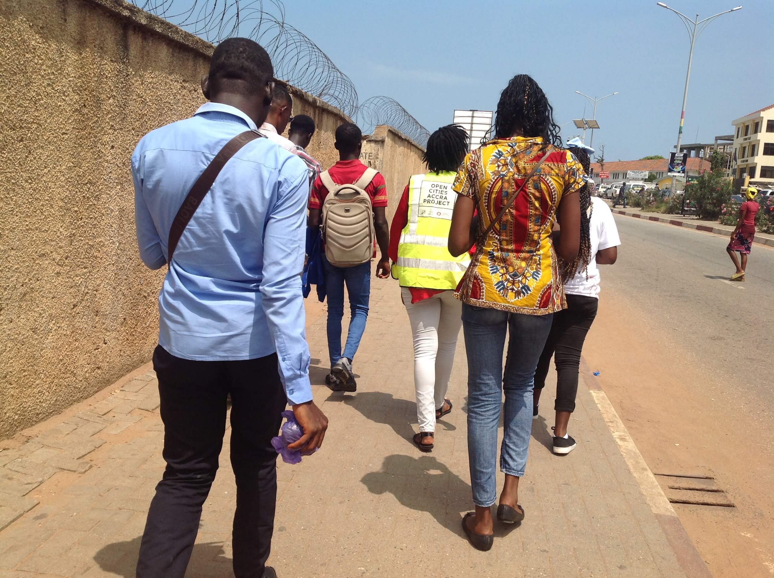
Participants were divided into three groups and led by a facilitator from OSM Ghana through the city of Accra to identify and map shops, zebra crossings, traffic lights, pavements and anything new that previously did not exist on OpenStreetMap prior to this exercise.
 |
 |
|---|---|
 |
 |
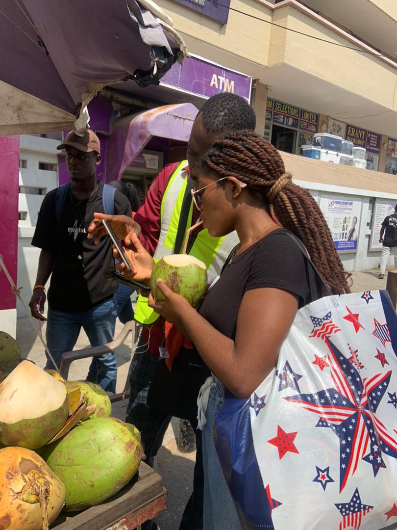
We added these features using a variety of mapping tools such as StreetComplete, Everydoor, OSMAnd, Organic Maps and Vespucci. They also took photos and created GPS traces to help map the area accurately.
 |
 |
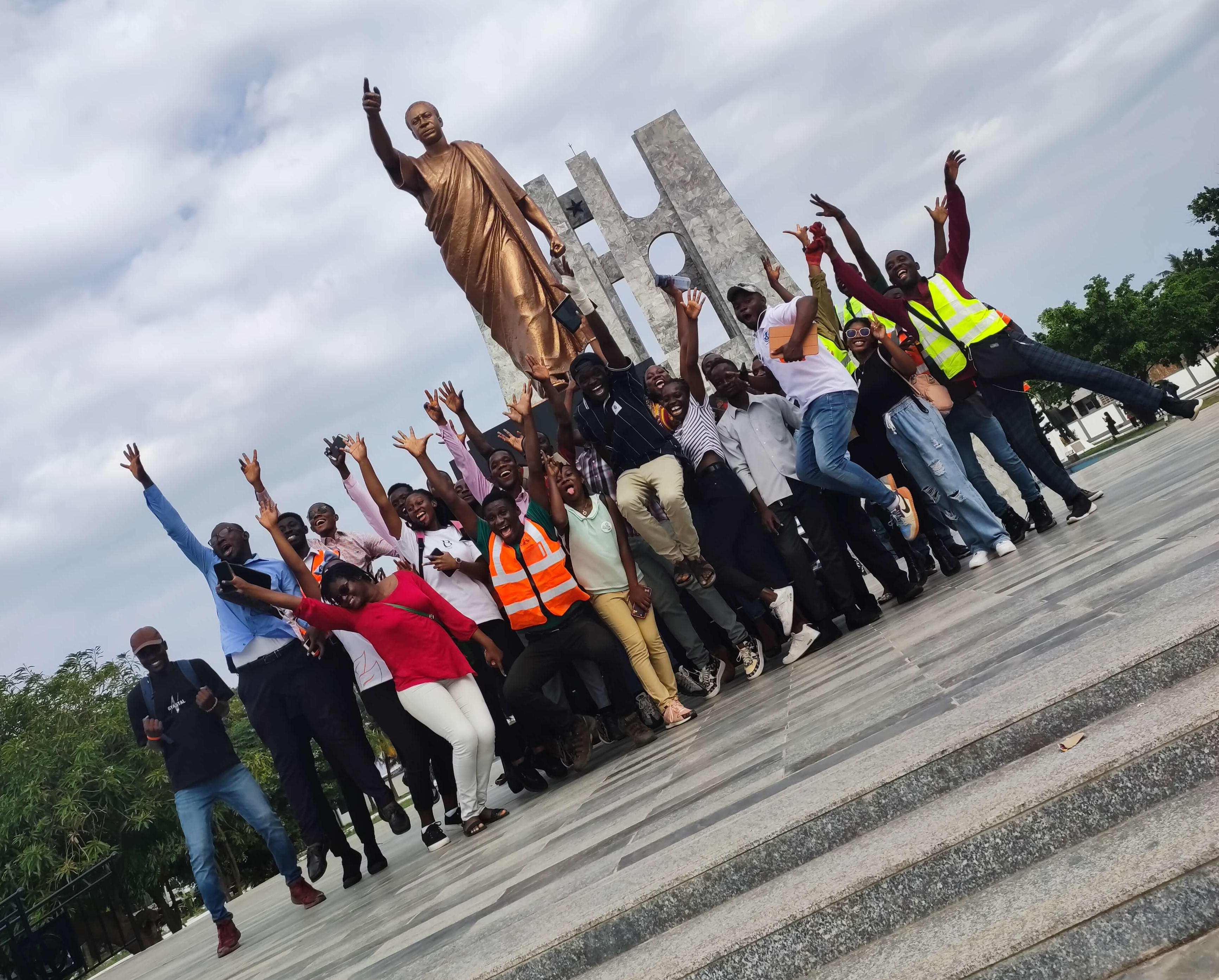
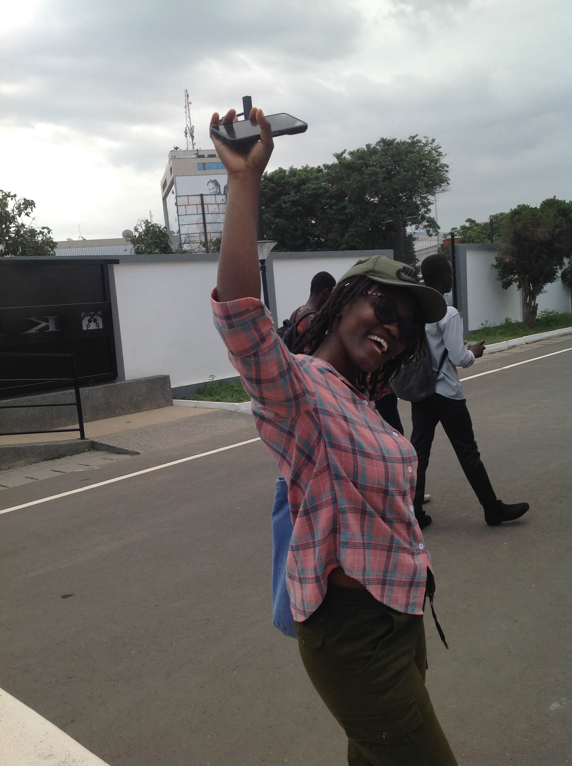
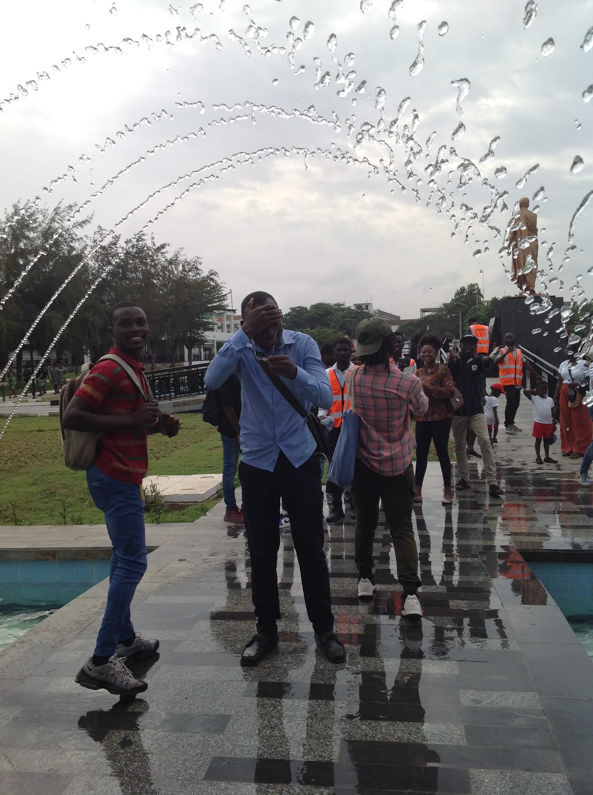
The groups converged at a starting point at the central business hub of Accra and after taking different routes, all arrived at the newly refurbished Kwame Nkrumah Memorial Park in Accra to learn about the history and life of Ghana’s first president, after adding and updating building features, trees, GPS tracks, convenience shops into OpenStreetMap.
 |
 |
The event was a success as participants gained knowledge about OSM and how to map on the go using the various mobile apps, and also an eye-opener on the limited use and knowledge of apps for navigation among the students.
 |
 |
|
This calls for the need to further engage members of the community on how to navigate using various OpenStreetMap mobile apps.
We also used the opportunity to network with other OSM enthusiasts and share their knowledge.
Editor’s note
Personally, i learned a lot from this event. Despite the muscle pull i experienced towards the session from all the walking, it gave me an understanding of the knowledge gaps with regards to mobile mapping and this was one of the steps we took to bridge that gap to help volunteers perform mapping on the go.
 |