OSM Ghana Organises a Mapathon to Support Sustainable Tourism in Larabanga
Dec 16, 2019 | By Samuel Darkwah Manu

Background …
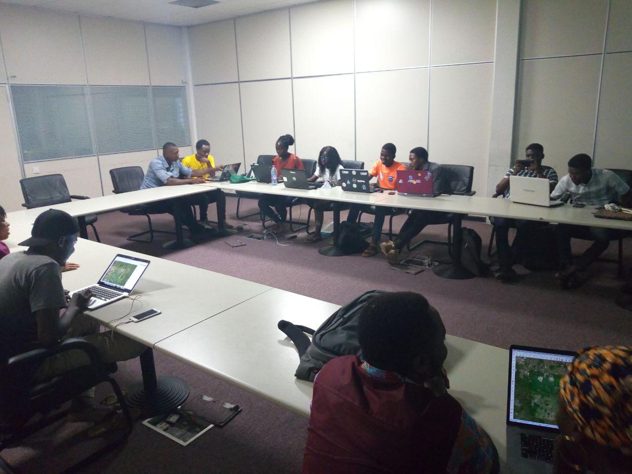
On Saturday, December 14, 2019, the OpenStreetMap Ghana community in colloaboration with the Linux Accra User Group organised a mapathon at the Ghana-India Kofi Annan Centre of Excellence in ICT at Ridge in Accra.
The mapathon was organised to support LECLARA’s initiative of promoting sustainable tourism through local mapping in Ghana.
LECLARA introduced community-run, sustainable tourism initiatives in Larabanga, Ghana, in order to generate revenue at the local level. A prerequisite for successful tourism is having a map of the community. LECLARA plans to train groups of youth in the region on open mapping, conducting regular exchanges with experienced mappers from OSM Ghana. Using OpenStreetMap, LECLARA aims to build a meaningful source of sustainable income and new pathways for youth to gain skills that unlock future job opportunities.
Mapathon …
The area we mapped was Sawla. Yes! Sawla in the Savannah Region! LECLARA is trying to map Sawla because it is the next biggest town to the west of Larabanga. It is a route that link to Wa in the Upper West Region and to the Southern part of the country. It is a District capital in the Savannah Region. The data created is going to be useful in improving on tourism activities in the area.
The mapthon attracted twenty people made up of fifteen men and five ladies. A few participants were new to the whole OpenStreetMap concept and were glad to take home some mapping skills and new knowledge.
 Participants happily enjoying their mappy hour
Participants were also treated with some good pizza and drinks.
 Participants enjoying the yummy pizza
Results …
- Number of OSM Contributors: 11
- Number of Map Changes: 14,367
-
Total number of Changesets: 108
- Number of created (modified) (deleted) OSM Objects
- Nodes: 12,166 (9) (1)
- Ways: 2,162 (4) (0)
- Highways: 2 (2)
- Buildings: 2,119