Blog
Learning from Challenges - A Reflection on Our Drone Training Experience
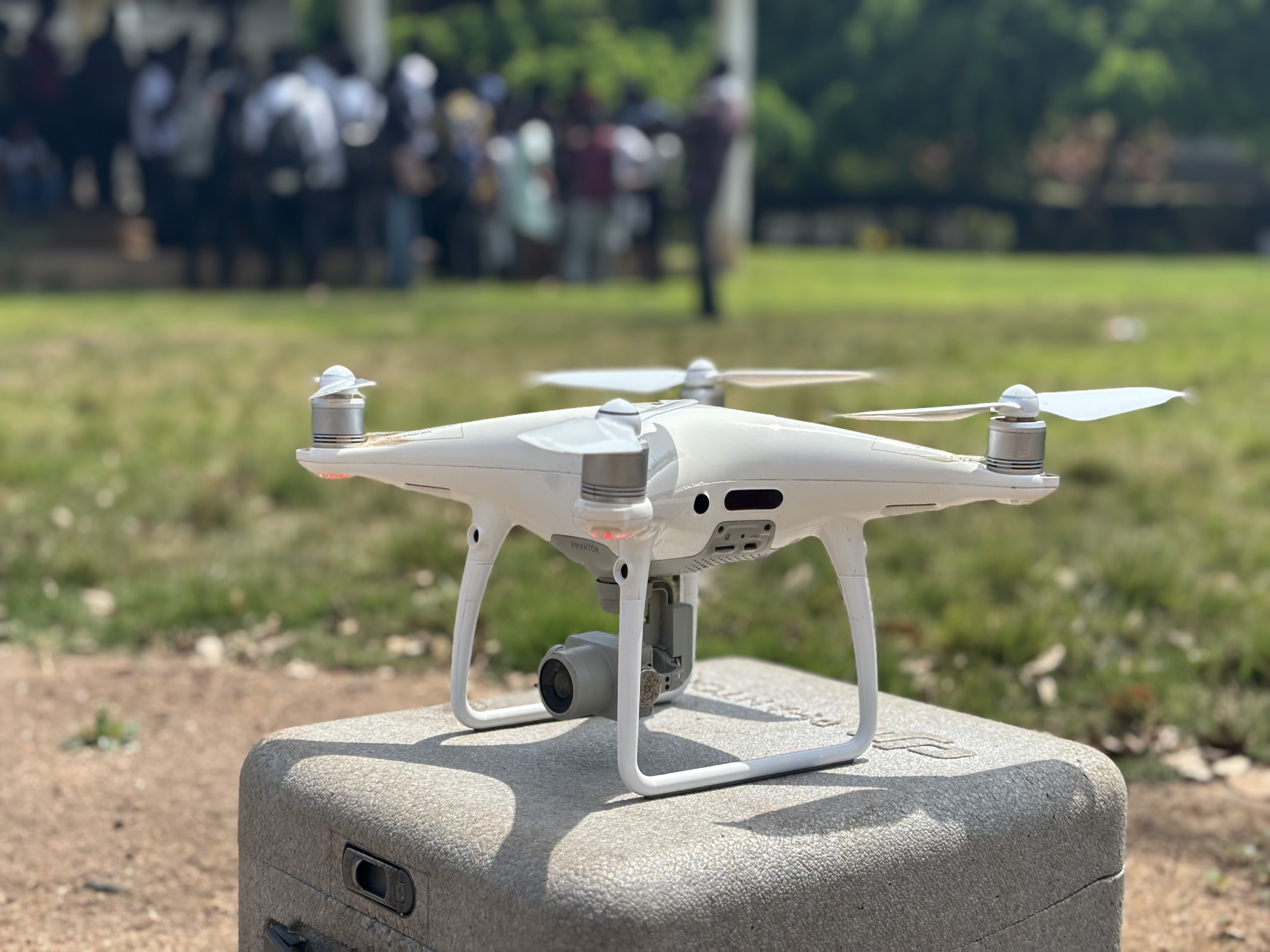
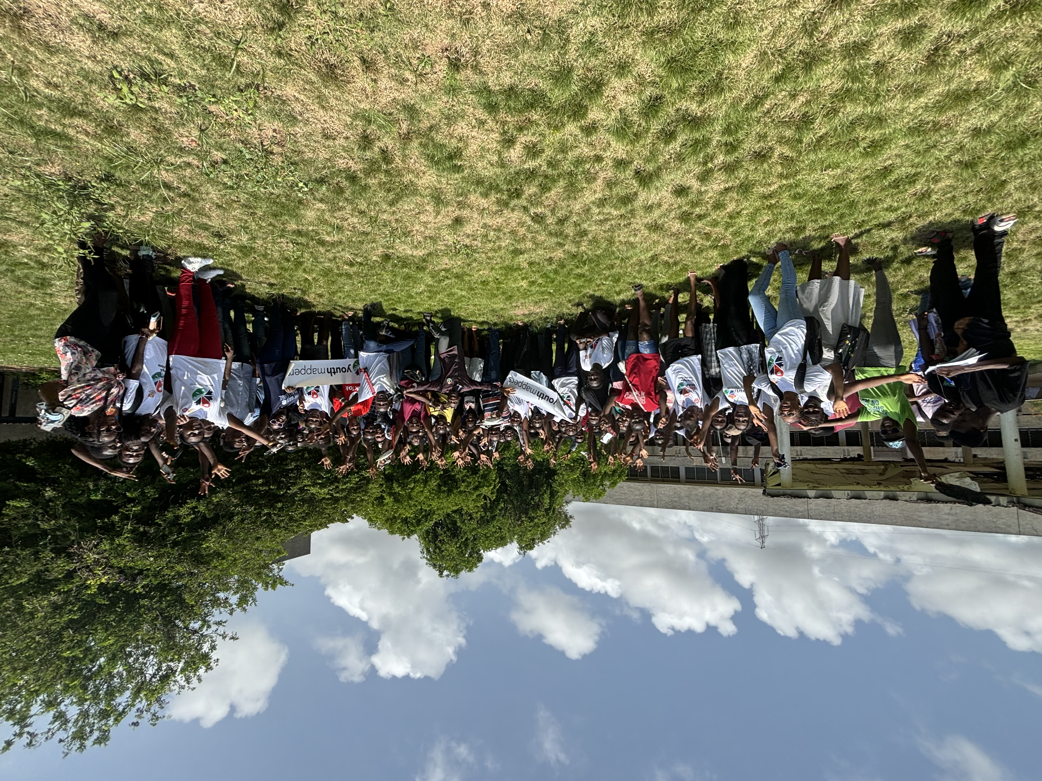
In the pursuit of education and skill development, challenges are inevitable. During our recent field session with the University of Cape Coast (UCC) YouthMappers chapter, while delving into the practical aspects of drone technology, we encountered an unexpected setback. Despite meticulous planning and expert guidance, one of our drones unexpectedly dropped from the sky. Upon investigation, it was revealed that the incident was not a result of a pilot error but rather a malfunctioning battery, which had expanded while the drone was in flight.
Read more »March 20, 2024 | By Stephen Donkor
Empowering the Next Generation; OSMGhana Partners with UCC YouthMappers for Drone Technology Training
In a bid to foster innovation and equip the youth with cutting-edge skills, OSMGhana recently collaborated with the University of Cape Coast (UCC) YouthMappers chapter to conduct an enlightening two-day training session on drone technology.
Read more »March 19, 2024 | By Stephen Donkor
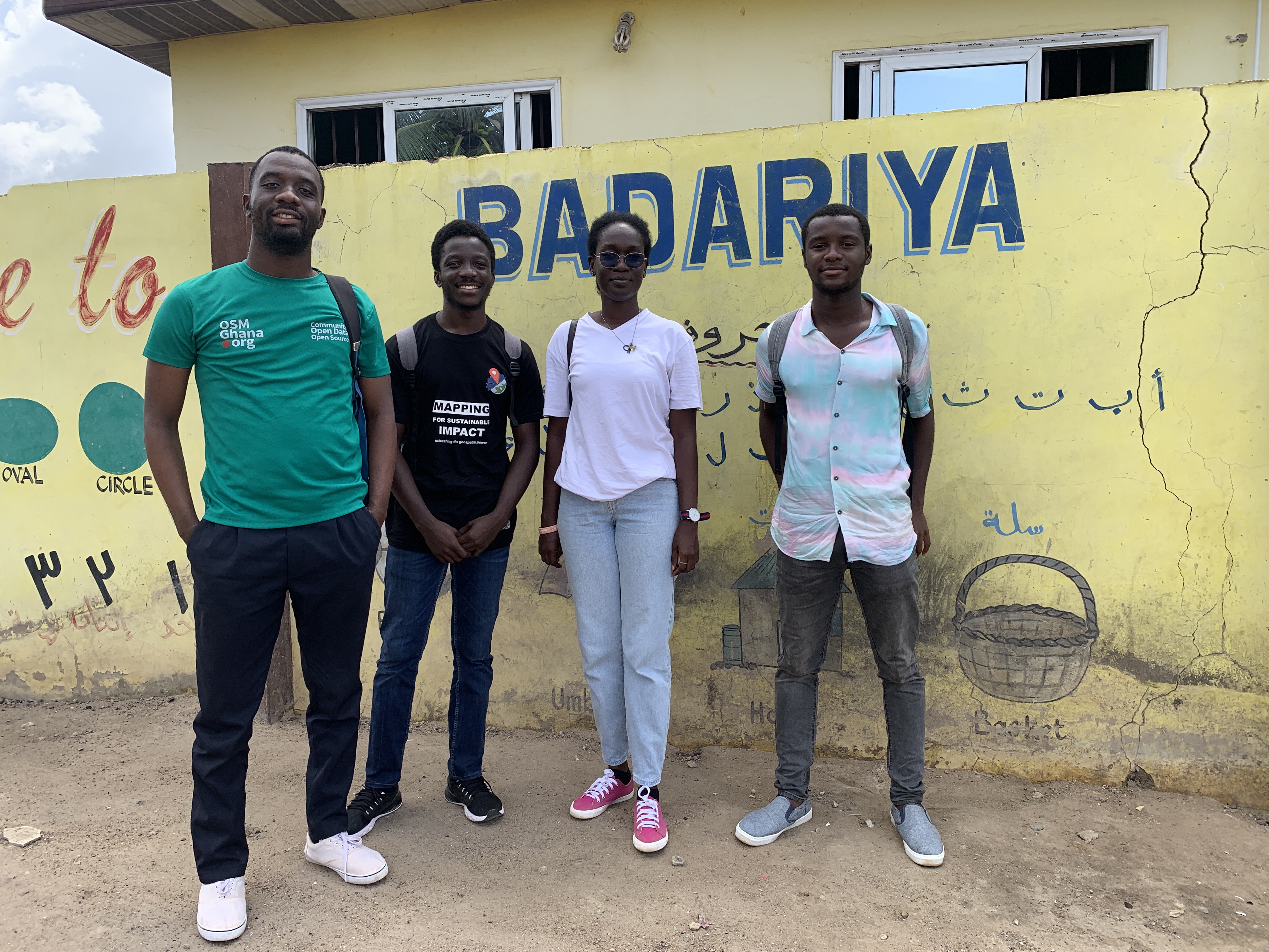
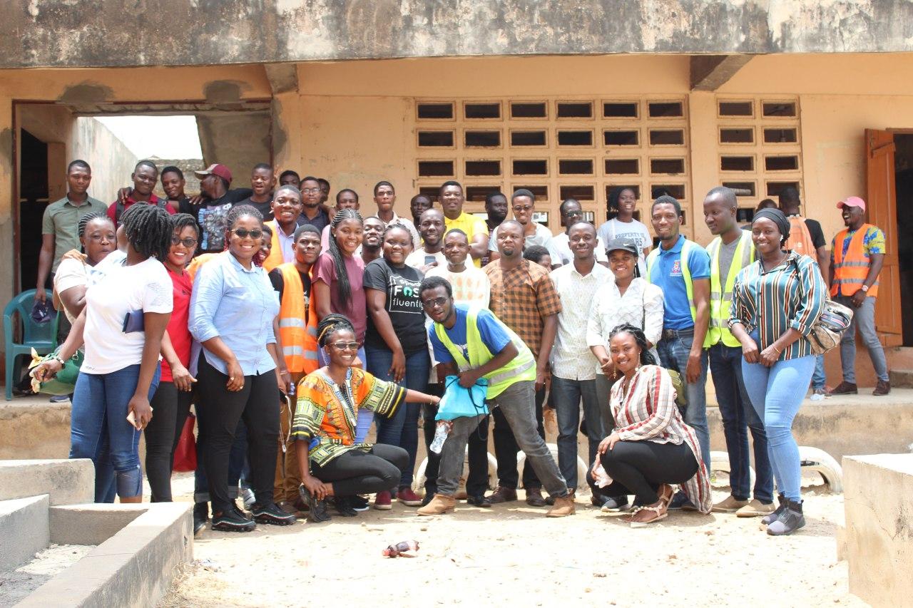
OpenStreetMap Ghana Outreach at Badariya Academy
As part of the OpenStreetMap internship, a team visited Badariya Academy in the Zongo community of Oduman, Accra, to educate students on mapping skills. The primary objective was to initiate the students into the world of OpenStreetMap and emphasize the importance of mapping in community development.
Read more »November 22, 2023 | By Isaac Kingsley Arthur
Walking, Mapping and History with Mobile Apps: An OpenStreetMap Ghana, University of Ghana YouthMappers and Ghana School of Survey and Mapping YouthMappers Initiative
On Friday, July 21st, 2023, OSM Ghana, together with the University of Ghana YouthMappers and the Ghana School of Survey and Mapping YouthMappers embarked on a walking mapathon in an effort to improve local knowledge and the use of mobile mapping tools.
Read more »July 21, 2023 | By James Amattey

OpenStreetMap Ghana and Wiki Green Initiative Partner to Intensify the Call for Environmental Restoration
We are excited to announce a groundbreaking partnership with Wiki Green Initiative for the 2023 Wiki Green Conference aimed at intensifying the call for environmental restoration. Wiki Green Initiative aims to build the capacity of young people in creating and editing climate change content on Wikipedia, while exploring cases regarding the use of OpenStreetMap for aggregated climate change initiatives.
Read more »May 09, 2023 | By James Amattey
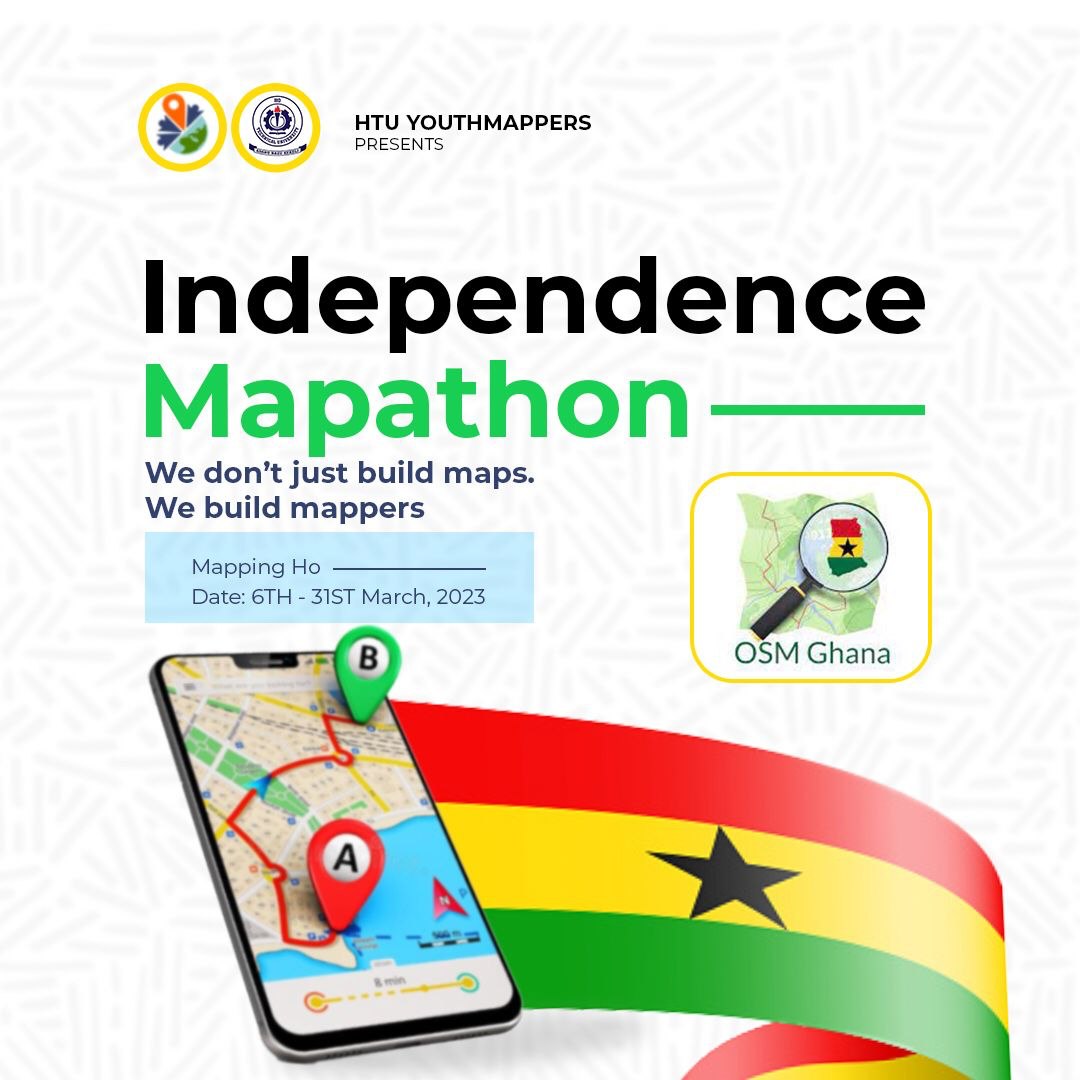
Empowering HTU YouthMappers: Training and Mapping Party with OpenStreetMap Ghana
In a vibrant city nestled amidst the lush green mountains of Ghana lies Ho; also referred to the oxygen city of Ghana, home to the Ewe tribe and renowned for its breathtaking landscapes and rich cultural heritage. However, like many cities worldwide, Ho has been facing the challenges of rapid urbanization and population growth. To address these issues and put Ho on the digital map, a remarkable initiative named the ‘Independence Mapathon’ was recently carried out; This mapping exercise coincided with the celebration of Ghana’s 66th Independence Day
Read more »April 10, 2023 | By James Amattey
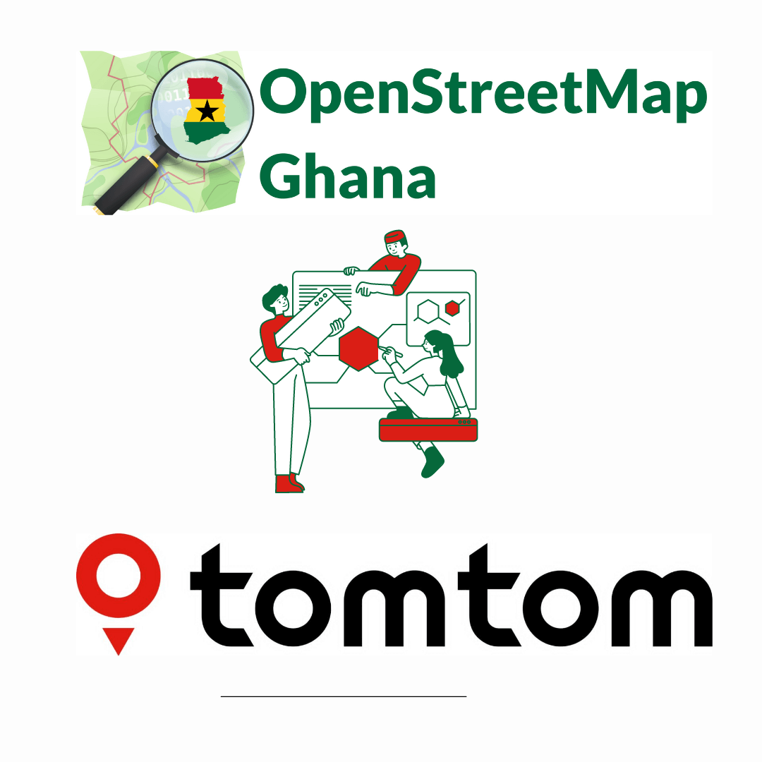
OSM Ghana and TomTom Collaborate to Improve Map Data In Ghana
OSM Ghana, a community of mappers in Ghana, recently teamed up with TomTom, a leading provider of navigation and mapping technology to improve OSM Data in Ghana by sharing meaningful insights on issues of data quality generated by TomTom. This led to the organization of a MapRoulette training and a subsequent challenge to involve the community in the identification and rectification of the issues of data quality. MapRoulette is a platform that allows users to contribute to OSM by solving mapping challenges, helping to improve the accuracy and completeness of the map.
Read more »April 02, 2023 | By James Amattey
OSM Ghana Improves Access to Ghanaian Villages With Mapping Party
OpenStreetMap (OSM) Ghana on Thursday, 23rd December, 2022, organized a mapping event in Accra. This event also served as a mini party for volunteers who have been contributing towards the growth and accuracy of the data added on OpenStreetMap, which is an open collaborative project to create a free, editable map of the world.
Read more »December 24, 2022 | By James Amattey
Participating in Open Cities Accra and being part of the FOSS community
In early September last year, I was privileged to have been invited for the screening and briefing for Open Cities Accra at Mobile Web Ghana where we had a diversified team of engineers, photographers, planners amongst other amazing expertise with a good representation of both sexes.
Read more »July 28, 2020 | By Pascalina Awelana Abadum
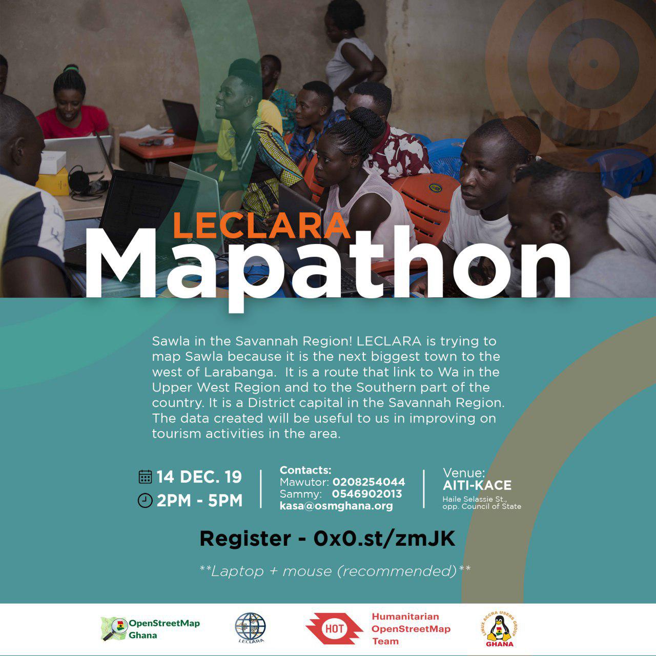
OSM Ghana Organises a Mapathon to Support Sustainable Tourism in Larabanga
Background …
Read more »December 16, 2019 | By Samuel Darkwah Manu
Secondary Cities meet Open Cities Accra
From the 15th - 19th of July, Secondary Cities organized 2C Africa Technical Exchange program in Accra at CERGIS. The exchange workshop is to give the opportunity to 2C partners to share the status of their projects with one another and network. The project was carried out in Nigeria, Ethiopia, Guinea and Mozambique.
Read more »August 27, 2019 | By Angela Norvi Yawo Teyvi
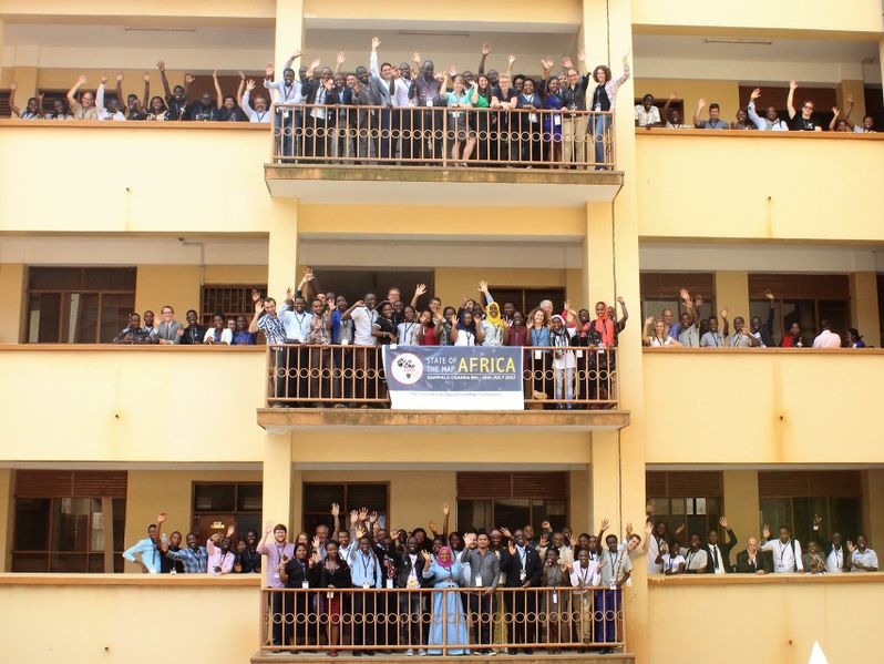
SOTM Africa 2019 is Calling!
State of the Map Africa (SOTM Africa) is an annual conference that celebrates the culture of open mapping, Open data, GIS and its impact across Africa. OpenStreetMap activities and communities in West Africa have been very active from capacity buiding to using open data and Free and Open Source Software for resilience, same is happening all over the continent.
Read more »April 22, 2019 | By Enock Seth Nyamador
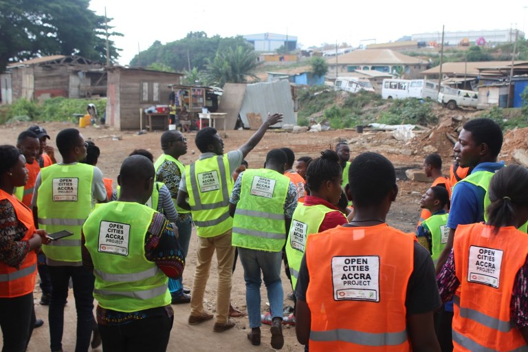
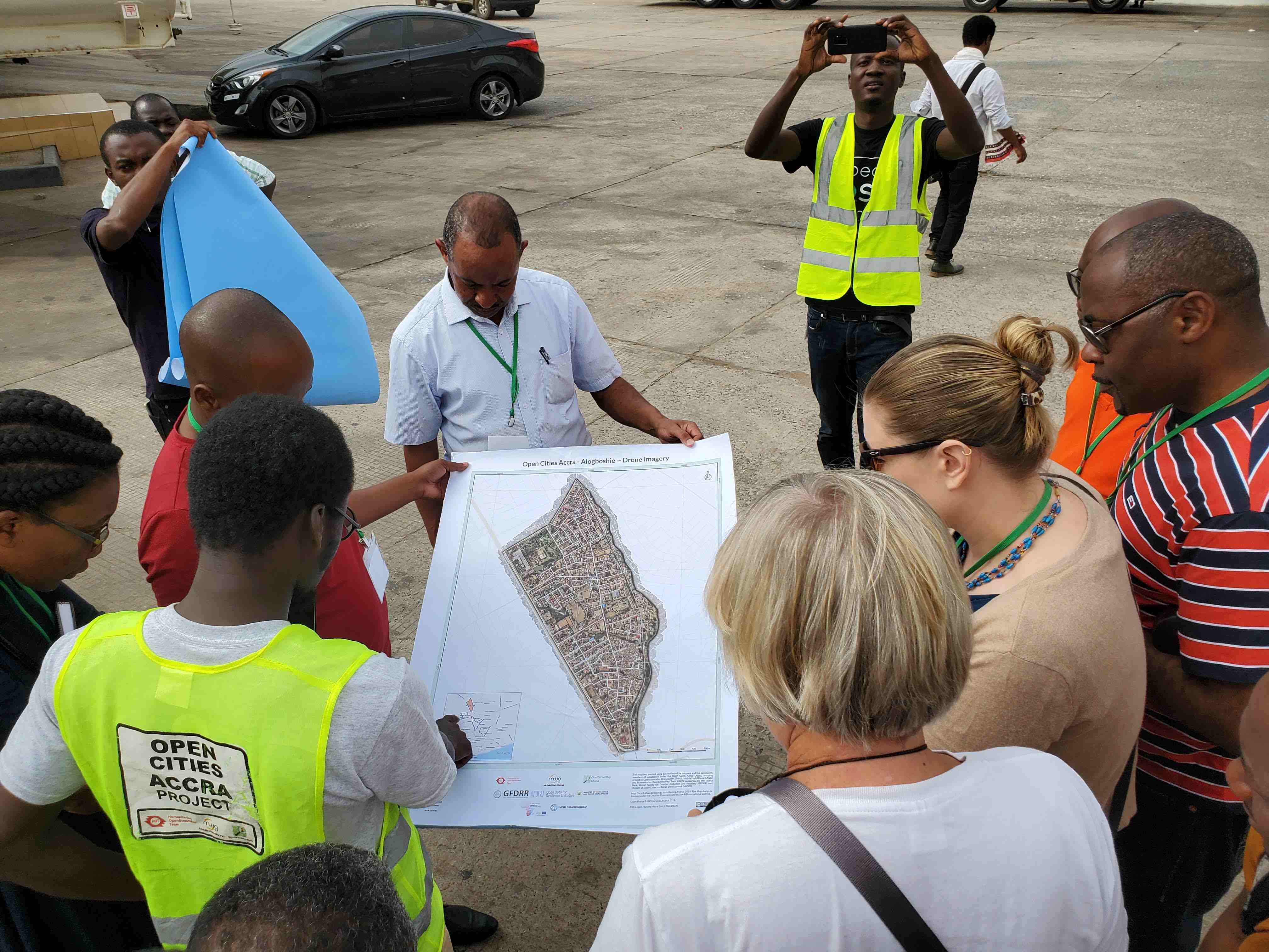
My Experience as a Student Mapper for Open Cities Accra
Open Cities Accra is supporting detailed mapping in Alogboshie community and its environs to improve resilience to natural disasters, especially flooding. Alogboshie, a suburb of Accra, is known to be one of the most flood-prone areas in Ghana’s capital city. Located along the Odaw River, Alogboshie is one of the four focus communities for the World Bank’s Greater Accra Climate Resilient and Integrated Development (GARID) project. Protecting Alogboshie will require an integrated approach that addresses drainage improvements, flood forecasting, solid waste management, improved urban planning and support to communities.
Read more »November 15, 2018 | By
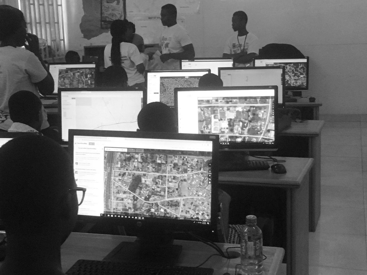
Building Capacity during OSMGeoWeek
Geographic Information Science (GIS) Day was organized by the Geography Department, University of Ghana. OSM Ghana joined the department to commemorate the day and also to lead a session in mapping with OpenStreetMap: the free and openly editable map of the world.
Read more »November 11, 2018 | By Fidel Nyameke

Using OpenStreetMap on the go!
We love OpenStreetMap because is Open Data. Open Data means more innovation. OSM data can be used both offline and online. They can be loaded on your handheld Sat-Nav.
Read more »November 10, 2018 | By Enock Seth Nyamador
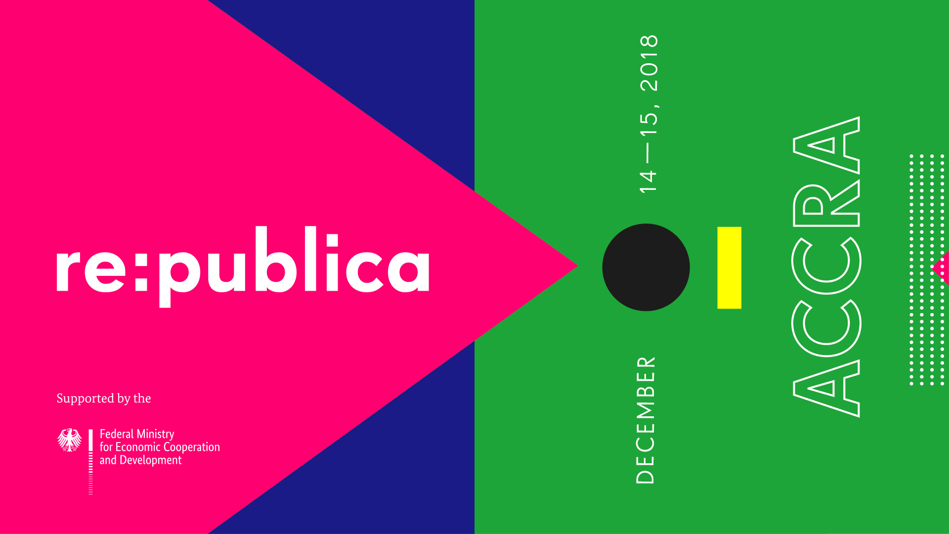
Open Data, Open Maps at re:publica Accra
re:publica is a conference in Europe that deals with the Web 2.0, especially blogs, social media and information society ~ Wikipedia. re:publica Accra is taking place happening from 14 - 15 December 2018.
Read more »November 04, 2018 | By Enock Seth Nyamador